Property & location context
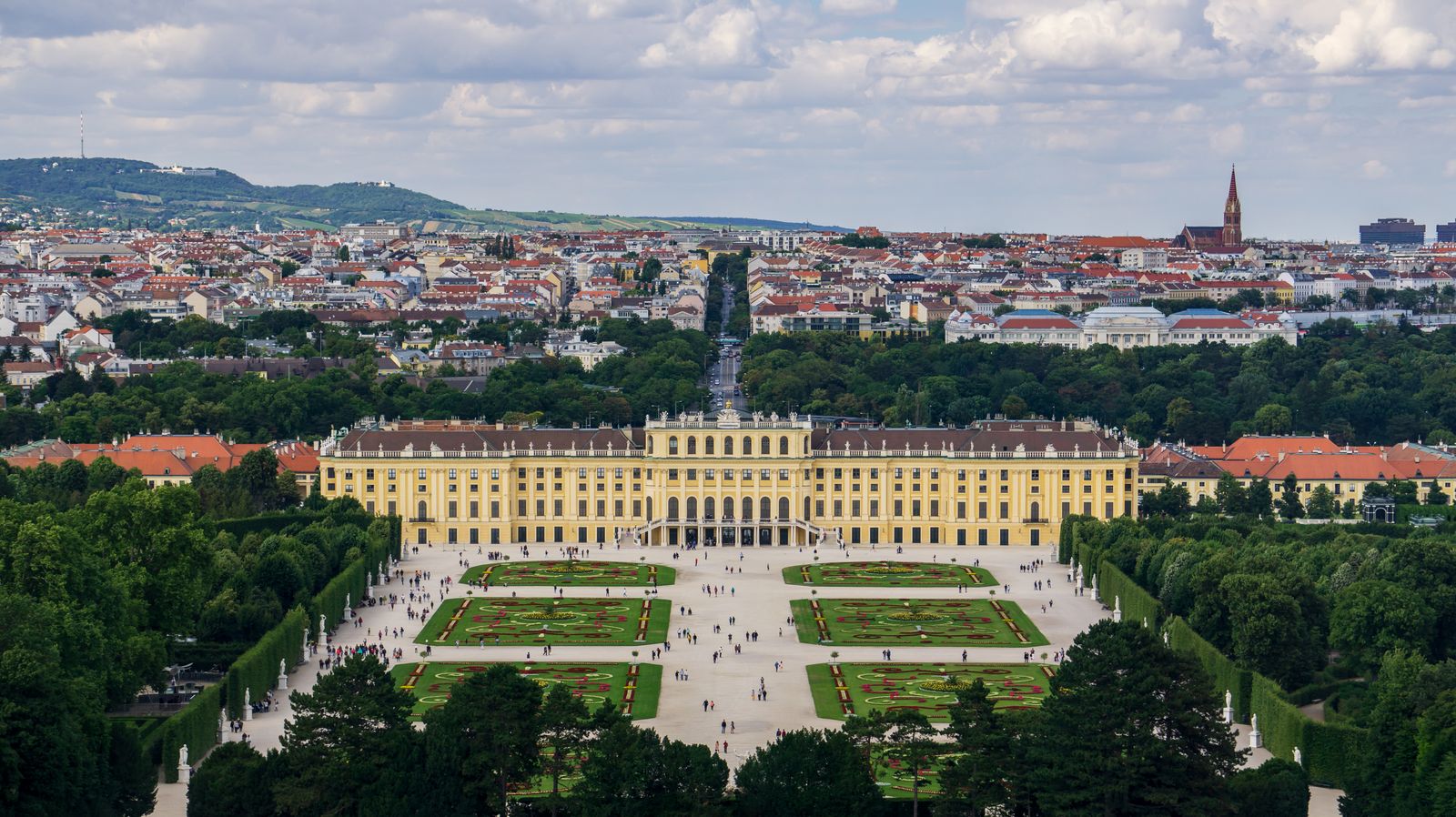
Show the building, the grounds and how the location sits within the wider area.
Drone photography and aerial video in Vienna for businesses, locations, websites and visual campaigns that need people to understand scale, setting and context at a glance. The aerial view is used when it makes the place feel clearer, more substantial or more worth discovering.
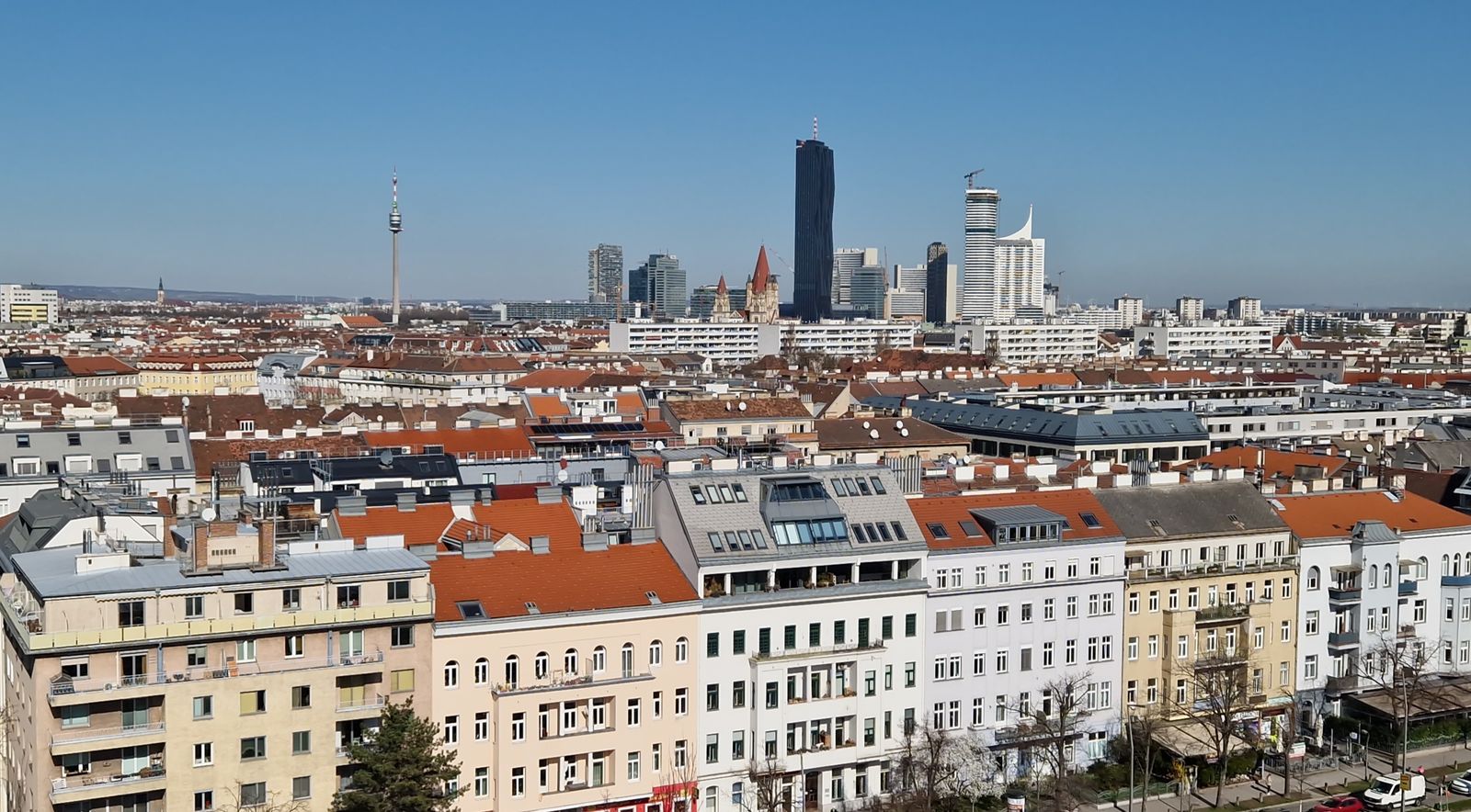
A drone earns its place in the project when height reveals something the ground cannot. The viewer should come away thinking: now I understand the size, the setting and how this place fits together.
That can be useful for businesses, properties, venues, hospitality and other location-driven projects where showing only close details would leave out the bigger story.
Aerial views are especially useful when a business or place benefits from showing its surrounding context and not just isolated details.
Show the building, the grounds and how the location sits within the wider area.
Help a business website feel more complete by combining close human imagery with aerial context.
Reveal views, access, surroundings and atmosphere in a way ground-level imagery cannot.
Selected projects outside Vienna can also be arranged when travel, rules and timing align.
Use the planning guide for a practical overview of checks, restrictions and what needs attention before a real shoot.
Read the drone rules guide →
Location permissions can be a separate layer from aviation rules. The permit guide explains how the location side works.
Read the permits guide →These questions come up when a client knows the place matters, but is not sure yet whether an aerial view is the right tool.
Drone photography can reveal scale, surrounding context, layout and a clearer sense of place.
Yes. Selected aerial projects can include both photography and panoramic video when the location and rules allow it.
Yes. Aerial imagery can support websites, location marketing, property presentations and broader visual storytelling.
Yes. The location should always be checked before scheduling a real drone shoot, including airspace and relevant local restrictions.
Share the location, what people should understand about it and where the images will be used. From there we can decide whether drone photography is the right fit and what needs to be checked first.